
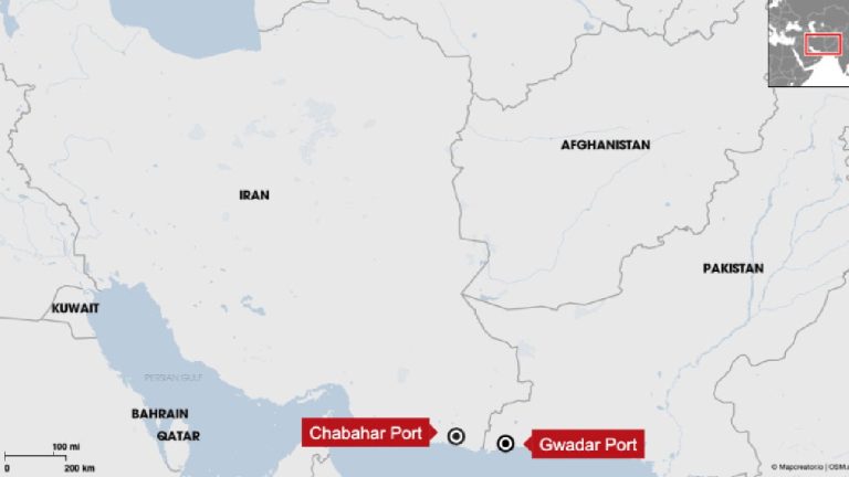
Why Central Asia Prioritizes Iranian Ports Over Pakistan
In January 2026, the trade map of Eurasia reflects a stark reality: despite being hundreds of kilometers closer to the Central Asian Republics (CARs), Pakistan’s ports are frequently bypassed for Iranian alternatives. While geography favors Pakistan, operational reliability and security stability have solidified Iran’s position as the preferred gateway.